Script 1
The purpose of this scrip was to list all of the rasters in the data, convert their projections to the proper projection (NAD_1983_HARN_WISCRS_Trempealeau_County_Feet), and add them to the Trempealeau County Geodatabase.
Script 3
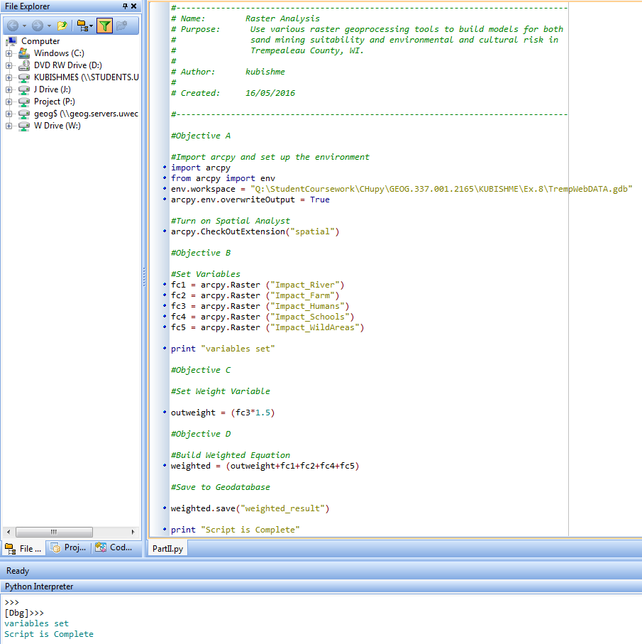
This script has a similar goal to my goal in GIS II Raster Modeling: Raster Analysis. A raster describing the potential impact of sand mining in southern Trempealeau County, Wisconsin is created using the same five criteria as the other lab. This time however, the calculation is performed in pyscripter and the Proximity to Residential Areas variable was weighted.
No comments:
Post a Comment